
Key Insights
Once a polluted drainage ditch, Chiang Mai’s historic 13th-century Mae Kha Canal has undergone an urban ecological revival. Beyond its popular “Little Otaru” night market facade lies a blueprint for urban design: dual-water infrastructure, decentralised wastewater treatment, and pedestrian walkway expansions that empower canal-side communities while reconnecting the Old City to its living blue-green heritage.
Lanna: The historic kingdom that ruled Northern Thailand from the 13th to the 18th centuries. Its unique cultural, artistic, and architectural traditions continue to define the regional identity of modern Chiang Mai.
Otaru: A historic port city in Hokkaido, Japan, renowned for its preserved early-20th-century canal and stone warehouses. Its picturesque aesthetic served as the visual inspiration for the Mae Kha Canal’s initial tourism redesign.
Bio-swale: An engineered landscape channel designed to concentrate and absorb rainwater runoff while filtering out debris and pollutants. These vegetation-lined troughs serve as natural water management systems along the expanded canal walkways.
Patina: The subtle sheen, colour change, or surface weathering that develops naturally on materials like teak wood, lime plaster, and brass over time. In heritage architecture, it serves as a valued visual indicator of age and historical authenticity.
Periphery: The outer boundary or fringe area surrounding a city’s core historic centre. In urban planning, these outer zones often mark the transition between dense municipal hubs and residential districts.
Urbanism: The study, practice, and design of how inhabitants interact with the built environment in towns and cities. It encompasses municipal planning, infrastructure management, and the social dynamics of public spaces.
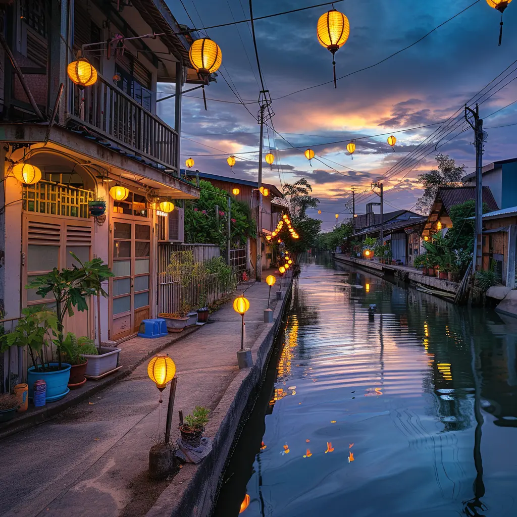
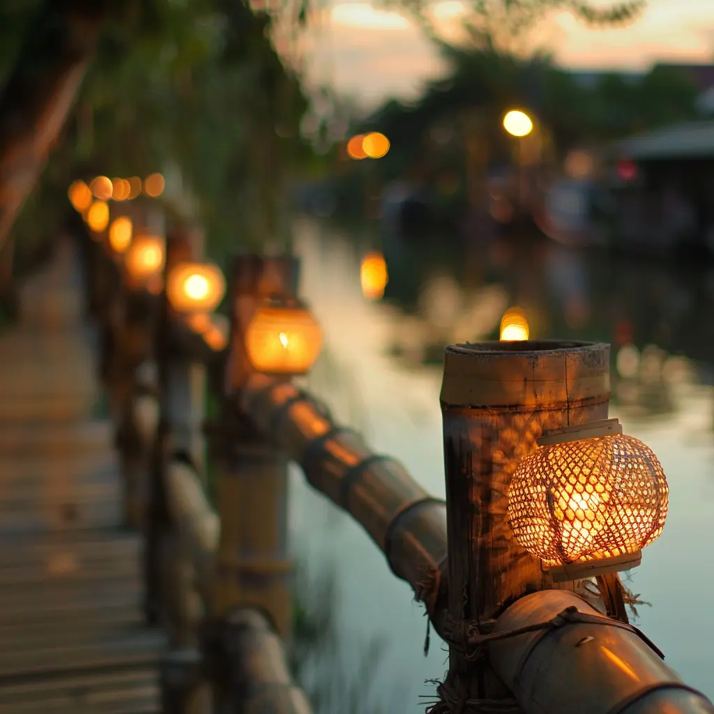
As twilight settles over Chiang Mai, the scent of charcoal rises from the concrete banks of the Mae Kha Canal. Overhead, paper lanterns flicker into life. Tourists stroll across Japanese-style wooden bridges, snapping photographs against whitewashed house fronts that look like a misplaced scene from Hokkaido.
To the casual observer, this 750-meter stretch near Raming Nirand Road is a clever Instagram backdrop—a local urban market cheekily dubbed “Little Otaru.” But strip away the social media aesthetics, and a far more significant urban narrative emerges.
The revitalisation of the Mae Kha Canal represents a complex experiment in municipal engineering, community empowerment, and the reclamation of a long-neglected Lanna arterial waterway.
From Lanna Defence Line to Urban Sewer
King Mangrai founded Chiang Mai in 1296 with the Mae Kha Canal as a core element. The waterway fed directly from Doi Suthep to the Ping River. It served as a natural outer moat and a vital irrigation channel for rice paddies. Furthermore, it provided a primary transport route for timber and agricultural goods.
For centuries, Lanna communities built timber dwellings along the banks. They lived in harmony with the seasonal ebbs and flows of the river basin. However, the late 20th century brought rapid, unmanaged urban expansion.
Modern roads sliced through natural floodplains, while concrete culverts choked off freshwater sources. Untreated domestic discharge turned the living artery into a stagnant collector for urban waste. By the early 2000s, locals regarded the Mae Kha as an environmental eyesore. Dark, oxygen-deprived waters and foul odours marred the canal.
Architectural Highlight: The Dual-Water Infrastructure
The true success of the Mae Kha project lies beneath the walking paths. Rather than simply hiding the pollution, civil engineers installed a dual-drainage system along the canal banks.
Primary concrete conduits divert raw domestic sewage away from the main channel into localised treatment facilities, allowing clean, treated runoff and fresh mountain water from Doi Suthep to flow freely along the open canal bed.
The turning point arrived in March 2018, when a coalition of civic leaders, Chiang Mai University academics, and residents convened to establish the Mae Kha Canal Revitalisation Project. The objective was not merely cosmetic cleanup, but a comprehensive rehabilitation of the waterway’s ecological and social fabric.
Walkway Expansions and the Masterplan Reality
The initial 750-meter pilot phase demonstrated that environmental restoration could drive local economic rebirth. What was once a neglected backyard for informal settlements became an active pedestrian zone.
Today, municipal planning has expanded well beyond the initial tourist cluster. Ongoing works focus on extending the pedestrian and cycling walkways north and south. The goal is an uninterrupted green corridor. It connects the historic Old City moat to southern peri-urban districts.
These expanded walkways integrate bio-swales, pocket gardens, and porous concrete paving. This design absorbs heavy monsoon runoff and reduces urban heat islands. The long-term goal is an interconnected green-blue infrastructure network. It provides residents with a non-motorised commuter route and restores biological life in the water.
Critical Nuances: Aesthetics vs. Authenticity
While the project is a triumph of public space design, it presents key urban planning questions that merit critical reflection:
1. The Identity Paradox
The decision to style the promenade after Hokkaido’s Otaru Canal attracted immediate foot traffic. It features arched bridges and wooden lanterns.
However, framing a 700-year-old Lanna defence moat through a foreign Japanese lens raises questions about heritage preservation. As future phases roll out, local preservationists advocate for vernacular Northern Thai design elements. They favour traditional Lanna teak lattice patterns and native wetland flora.
2. Micro-Entrepreneurship and Housing Security
Before the restoration, many families living along the canal lacked formal land titles. Most operated in deep economic precarity. The municipal project chose an inclusive path instead of evicting these long-standing communities.
The city worked closely with residents, including hill-tribe members. Together, they converted home fronts into licensed street-food stalls, handicraft shops, and small cafes.
This strategy provided immediate economic mobility. However, property values along the canal continue to rise. Maintaining affordable living for longtime residents will test city planners as outside commercial pressure grows.

The Modern Visitor Experience
For the discerning traveller, the best time to explore the Mae Kha Canal is in the late afternoon, just as the day’s heat softens. Start near the Raming Nirand Road entrance before the night market crowds accumulate.
Observe the physical structural elements: the lime-washed concrete retaining walls, the strategically placed water aeration fountains, and the small gardens of elephant ear plants and Canna lilies that help filter heavy metals from the water bed.
As night falls, stop by one of the family-run stalls for a bowl of Northern-style Khao Soi or grilled skewered meats, served by residents who have spent decades on these banks. The atmosphere is informal, energetic, and uniquely reflective of modern Chiang Mai’s adaptability.
A Blueprint for Southeast Asian Urban Waterways
The revitalisation of the Mae Kha Canal proves historic urban waterways need not remain buried beneath concrete. Cities do not have to surrender them to industrial pollution. Chiang Mai combined decentralised wastewater management with public walkway expansions and inclusive micro-commercial zoning.
Through this approach, the city created a functional blueprint for secondary cities across Southeast Asia.
Restoring historic natural infrastructure achieves far more than cleaning water. It rejuvenates the social and economic life of the communities along its banks.